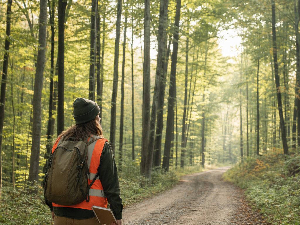
Walk the stand
Track routes through stands, access roads, boundaries, and areas that need a closer inspection.
Forestry
Map stands, access routes, field observations, and work areas so forestry teams can coordinate decisions across large, changing landscapes.
The field workflow
Keep observations and operational details connected to the places where crews assess, manage, restore, and return.
Track routes through stands, access roads, boundaries, and areas that need a closer inspection.
Place observations for treatments, hazards, water, structures, staging, and priority areas.
Capture photos and notes that make a remote site easier to understand later.
Give managers, contractors, crews, and partners a focused map for the next decision.
Who it helps
Create a durable, practical layer of field knowledge without asking every collaborator to learn a complex GIS system.
Keep route knowledge, observations, and work priorities together wherever the work takes you.