Walk the land
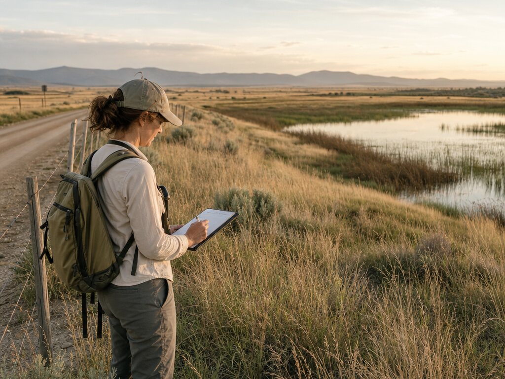
Record routes, boundaries, access points, water, structures, and areas that need attention.
Land management
Map access, infrastructure, stewardship work, and field observations so land managers can coordinate people and priorities across a property.
The field workflow
Give every field visit a shared geographic record, from the first observation to the next crew handoff.
Record routes, boundaries, access points, water, structures, and areas that need attention.
Place issues, projects, invasive species, erosion, repairs, and monitoring locations.
Add photos and notes so the condition of the land is easier to compare over time.
Send crews, volunteers, vendors, and partners a clear map for the next action.
Who it helps
Keep practical stewardship knowledge visible across seasons, teams, and changing priorities.
Map what you see, document what changes, and make the next field decision easier to share.