Read the site
Trace circulation, views, grades, edges, and the conditions that shape the design response.
Landscape architecture
Capture site conditions, circulation, materials, and field observations in a map your design and construction teams can share.
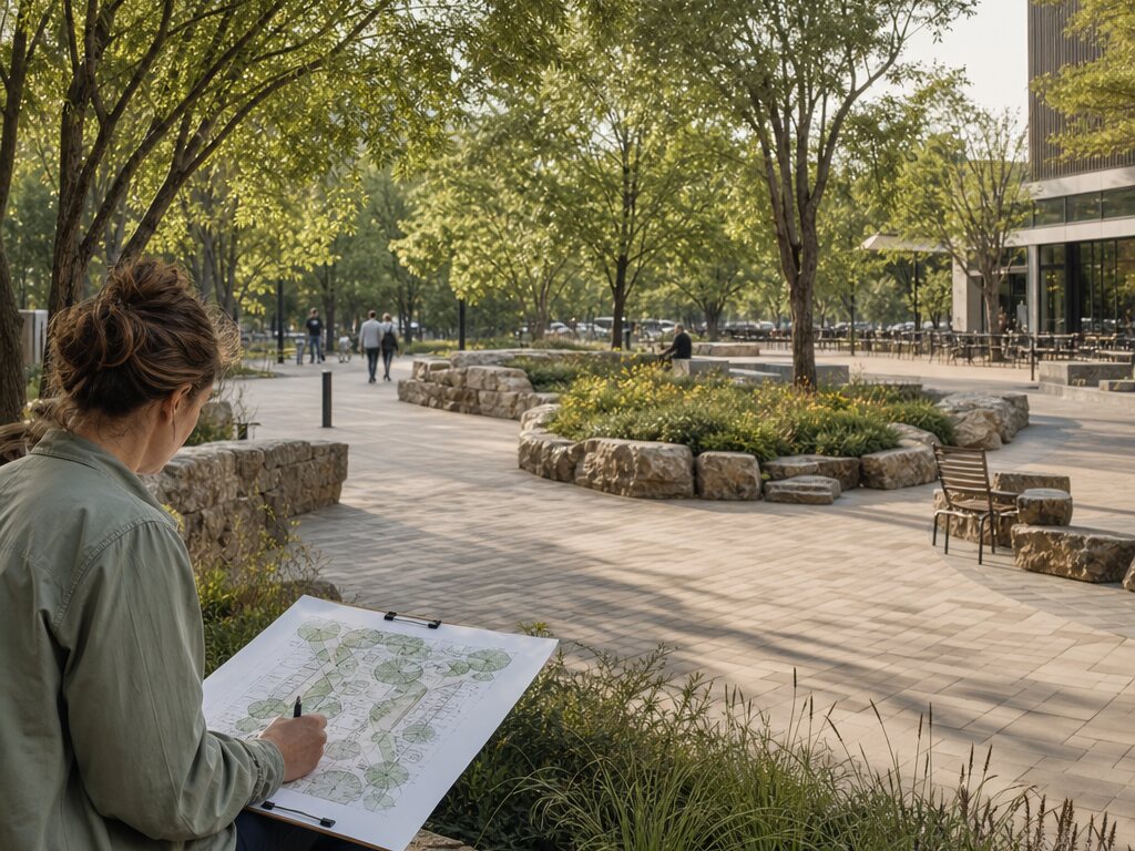
The field workflow
Carry observations from site walks into planning, stakeholder conversations, documentation, and construction follow-through.
Trace circulation, views, grades, edges, and the conditions that shape the design response.
Mark constraints, opportunities, utilities, materials, access, and stakeholder priorities.
Bring photos and concise field notes into the same spatial record as the route.
Give clients, consultants, and builders a clear map of what the design is responding to.
Who it helps
Use one lightweight field record from early site analysis through construction observation and future stewardship.
Capture the field context behind each decision and make it easier for the whole project team to see the same place.