Walk the alignment
Record the proposed line, reroutes, access points, and the sections that need another look.
Trail builders
Track trail alignments, structures, materials, and maintenance needs while the work is still happening on the ground.
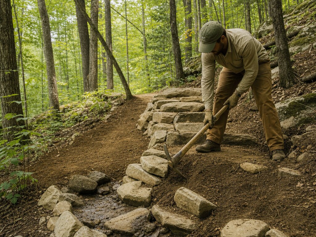
The field workflow
Keep route decisions, construction notes, and follow-up work tied to the terrain instead of scattered across messages and memory.
Record the proposed line, reroutes, access points, and the sections that need another look.
Map drainage, crossings, structures, erosion, material drops, and construction priorities.
Pair photos and notes with exact locations so volunteers and crews can see what changed.
Give project partners a current route map for planning, inspection, and maintenance.
Who it helps
A practical map helps crews return to the right place with the right context, season after season.
Map the decisions, document the details, and give the next crew a better place to start.